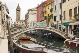
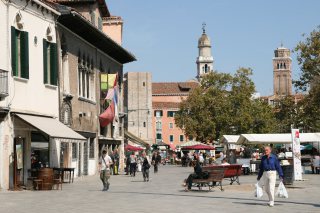
Zattere Quays Street / Area
A long promenade in the south of Dorsoduro along the Giudecca Canal, born of the timber trade and now one of the favorite walks of the Venetians.
The Zattere, the great promenade in the south of Dorsoduro
Running along the Giudecca Canal for about a kilometer and a half, the Zattere form a long succession of quays on the southern facade of Dorsoduro. Wider and more open than many Venetian fondamenta, they offer a promenade open onto the island of Giudecca, punctuated by churches, old warehouses, and waterfront terraces.
Quays linked to the timber trade
The name "Zattere" comes from the rafts used to transport logs and wood to Venice, notably from the forests of Cadore. Carried by the waterways of the mainland, these materials essential to the city were unloaded and stored on this bank before feeding the shipyards, buildings, and Venetian navigation. Documents already attest in the 14th century the storage of wood at the Zattere, whose quays were then largely developed in the early modern period.
A long waterside promenade
From west to east, the Zattere stretch from San Basilio, the quietest area of Dorsoduro, to the Punta della Dogana at the entrance to the Grand Canal and Saint Mark's Basin.
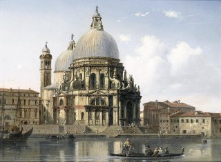
The route passes notably by the former Ospedale degli Incurabili, now occupied by the Accademia di Belle Arti, the church of Santa Maria della Visitazione, the Gesuati, and the old Magazzini del Sale. Cafés, gelaterias, and restaurants set up along the canal today help make this bank one of the great promenade areas of Dorsoduro. Short incursions inland lead to the Squero di San Trovaso, the basilica Santa Maria della Salute, or even San Nicolò dei Mendicoli.
Sources and additional information
Venezia Unica — Dorsoduro, the Art District ; Treccani — History of Venice ; Accademia di Belle Arti di Venezia — Historical notes.
Map and route
Near the Zattere Quays and places in the district
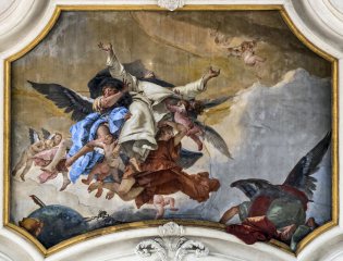 Church
 of Saint Mary of the Rosary in Venice
65 m
Church
Church of Saint Mary of the Rosary in Venice
65 m
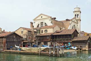 Attraction
Squero di San Trovaso
98 m
Attraction
Squero di San Trovaso
98 m
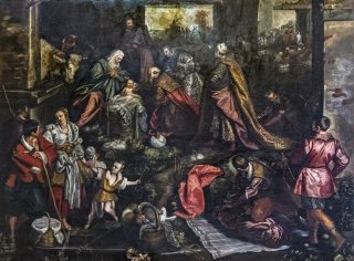 Church
San Trovaso Church
120 m
Church
San Trovaso Church
120 m
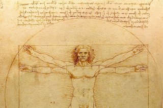 Museum
Gallerie dell'Accademia
145 m
Museum
Gallerie dell'Accademia
145 m
In the Dorsoduro sestiere


Nearby places to stay
Sur le même thème